EqualEarthMap – Mercator vs Equal Earth map comparison, side by side
DeutschTap a country on the map, or choose one:
For comparison: on Mercator, Greenland looks about as big as Africa. In reality, Africa is 14 times larger.
On 4 September 2026 the UN General Assembly voted 164 to 1, with 6 abstentions, to encourage governments, schools and tech companies to use equal-area maps such as Equal Earth wherever relative size matters. Only the United States voted against. The resolution is non-binding: it does not ban Mercator and imposes no replacement.
Mercator looks the way it does because Gerardus Mercator designed it in 1569 for navigation at sea. It is conformal: angles are preserved, and a constant compass bearing is a straight line. Stretching the high latitudes is the price of that property. It is not a mistake but a purpose.
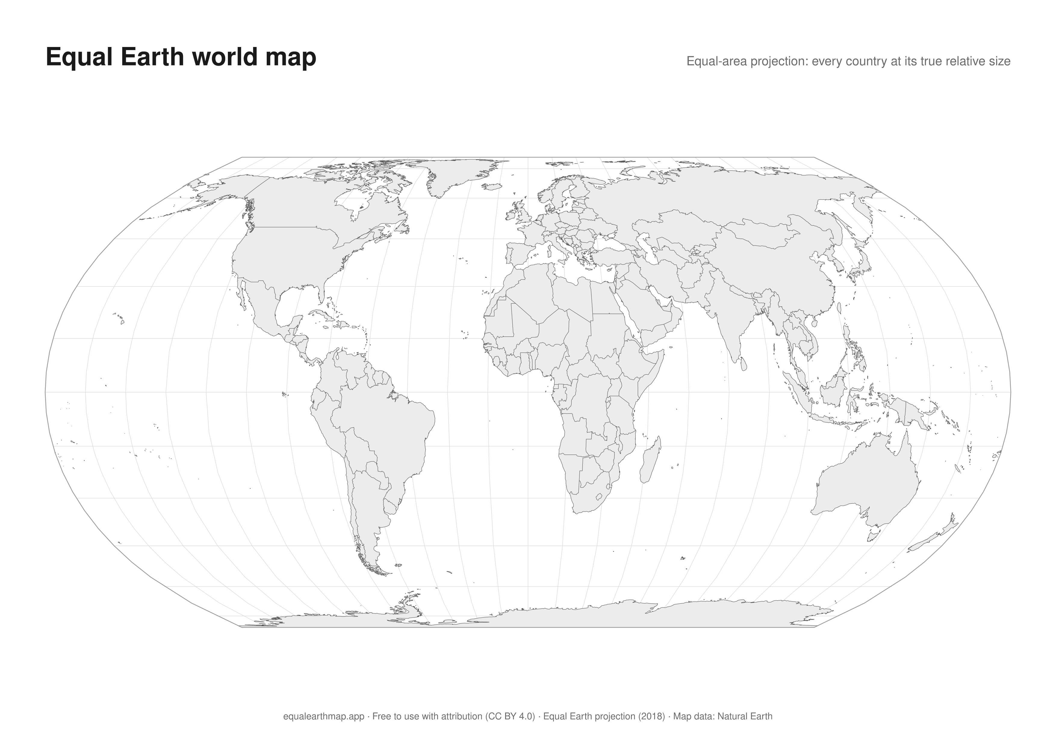
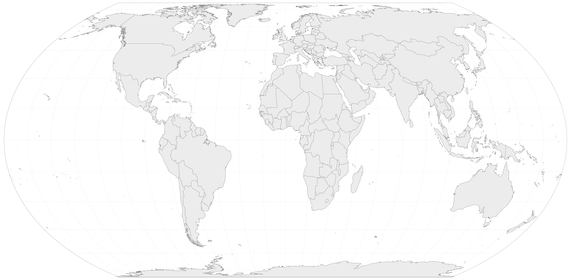
Equal Earth keeps every area in true proportion, so Greenland, Africa and Europe can be compared at a glance. In return, shapes near the edges are compressed and angles are no longer exact. The slider in between only blends the two pictures. Every flat map distorts something. The only choice is what to keep.
What is the Equal Earth projection?
Equal Earth is an equal-area world map projection published in 2018 by Bojan Šavrič, Tom Patterson and Bernhard Jenny. Every country and continent is drawn at its true relative size, while the curved outline keeps the familiar look of a globe. Since the UN General Assembly vote of September 2026 it is the recommended alternative to Mercator wherever relative size matters.
How much does the Mercator map distort each region?
The area factor says how many times larger a region appears on the Mercator map than it really is. On Equal Earth the factor is 1.0 everywhere. Computed from Natural Earth outlines with d3-geo:
- Greenland16.5×
- Norway9.4×
- North America4.6×
- Europe4.4×
- Germany2.6×
- United States2.3×
- Switzerland2.1×
- Asia1.5×
- Oceania1.3×
- South America1.2×
- Africa1.1×
- Kenya1.0×
Mercator vs Equal Earth: which map is right?
Neither. Mercator is conformal and still the right choice for navigation and street-level web maps. Equal Earth is equal-area and the right choice for comparing countries, showing global statistics or teaching geography. This page lets you compare both projections side by side: drag the slider to morph one map into the other, or use the overlap view to see Mercator and Equal Earth in one frame.
Printable Equal Earth map
Free to download for class, presentations or the wall. Free to use with attribution (CC BY 4.0).